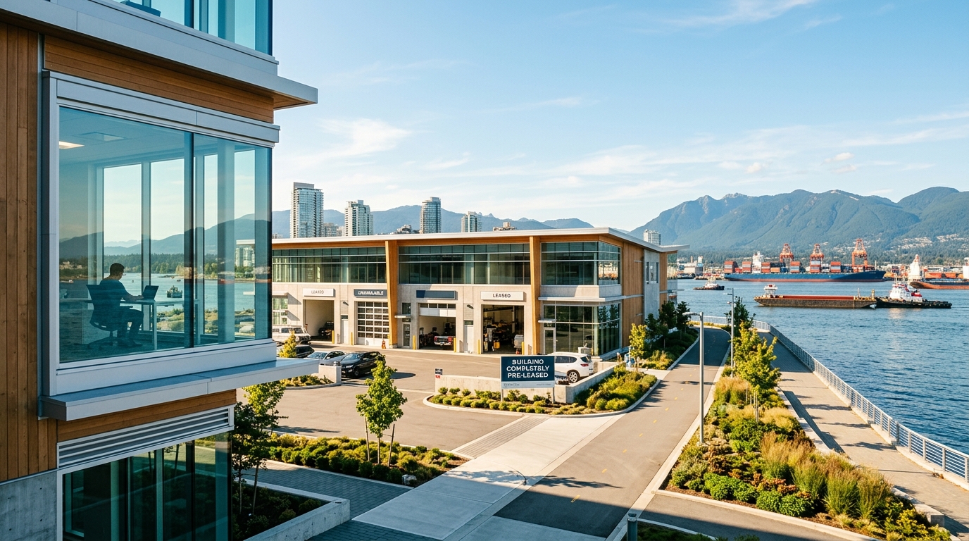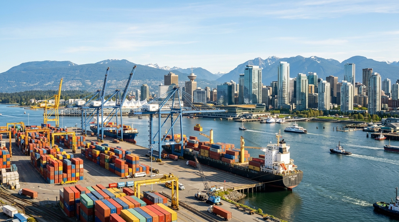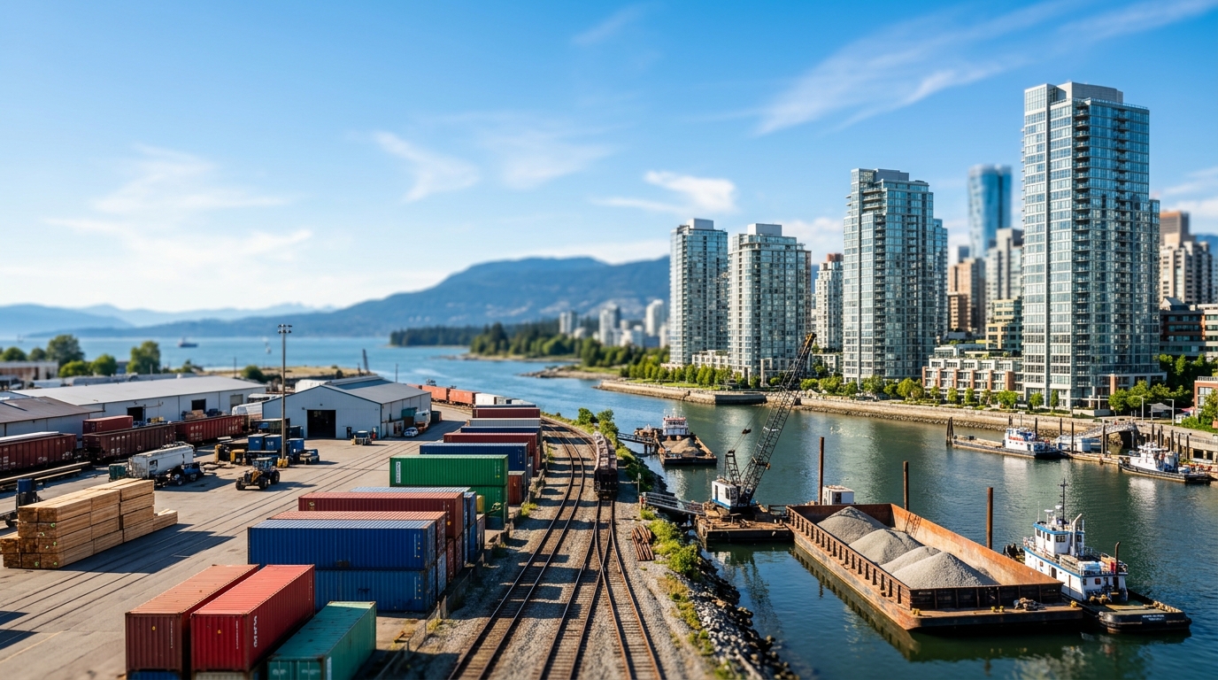
The City of Vancouver’s ongoing False Creek Flats Area Plan review presents a question with consequences that will outlast the current political cycle: how much of Vancouver's remaining employment land is the city willing to trade for residential density?
The answer will be irreversible.
False Creek Flats is one of Vancouver's last large contiguous employment land reserves, encompassing approximately 130 hectares of industrial and light-industrial zoned land stretching from Main Street east toward Clark Drive and the Great Northern Way corridor. It sits adjacent to the waterway and rail infrastructure that makes it functionally irreplaceable for marine services, logistics, and advanced manufacturing. Once this land converts to residential use, it cannot be reclaimed for industrial purposes.
The Squeeze from Both Sides
Industrial land values in East Vancouver have more than doubled since 2018, according to 2025 BC Assessment data. That appreciation has been a windfall for landowners, but a compounding problem for operators who lease. When the gap between industrial land value and residential land value reaches a certain threshold, the economic logic of rezoning becomes overwhelming for individual property owners, regardless of the collective cost.
Metro Vancouver's Regional Industrial Lands Strategy flagged the loss of industrial land as a top regional economic threat. The strategy documented a consistent pattern: once industrial land converts, it does not return. The cumulative effect constrains the logistics, manufacturing, and marine services capacity that the broader economy depends on, affecting goods movement, employment density, and supply chain resilience.
The False Creek Flats area is now the focal point of that pressure. Some landowners have lobbied for residential rezoning during the current plan review, arguing that the land is underutilized and that the housing need is acute. While each individual case may appear reasonable, the aggregate effect is a different matter.
The Port Authority's Role
The Vancouver Fraser Port Authority maintains industrial buffer policies designed to protect port-adjacent land from encroachment by sensitive uses, such as residential development. These buffers have historically been a durable check on conversion pressure, as they operate at a federal level and are not subject to municipal rezoning decisions.
However, the Port Authority's jurisdiction has geographic limits. Parcels in the Clark Drive corridor and the inland portions of the Flats sit outside the direct buffer zone, leaving their protection dependent on City of Vancouver zoning policy—the very policy currently under review.
What Operators Are Watching
For logistics operators and light manufacturers in the Flats, uncertainty is a significant business risk. Long-term capital investment requires confidence that a lease will be renewable. When an area plan review is active, that confidence erodes.
Metro Vancouver's industrial vacancy rate has dropped below one per cent in key corridors, a figure commercial brokers describe as effectively representing zero available supply. At that level, further conversion of industrial land displaces operators with nowhere to relocate within the region.
Life sciences developers have added a new dimension to the competition. The sector's preference for purpose-built wet lab facilities, combined with its tolerance for higher land costs, has made life sciences a credible alternative use for employment land. While life sciences employment is high-value, it further compresses the inventory available to logistics and marine services operators whose functions are less substitutable.
The Irreversibility Argument
The economic case for protecting industrial land rests on a supply argument: the Port of Vancouver facilitates the movement of billions in goods annually, and the industrial land base surrounding the port is the terrestrial infrastructure that makes that throughput possible. Warehousing, last-mile distribution, marine repair, and custom fabrication require land proximate to water and rail—a finite resource.
The next 12 to 24 months represent the practical window in which these decisions will be made. Once a revised plan is adopted, the policy framework will govern land use for a generation. The question is whether the city's planning process will treat employment land protection as a regional economic imperative, or as one consideration among many to be weighed against residential demand.
The Flats will not look the same in twenty years. The question is whether the change preserves the industrial functions that cannot be relocated, or forecloses them permanently in exchange for density that could be accommodated elsewhere. The document may be dry, but the stakes are not.